Engineering the infrastructure North Texas runs on.
Birkhoff, Hendricks & Carter L.L.P. provides consulting civil engineering for municipalities and governmental agencies — water, wastewater, drainage, transportation, drone-based remote sensing and geospatial science.
Modern tools. Municipal focus.
From elevated storage tanks to drone-collected terrain models, our work spans traditional civil engineering and the geospatial data that drives better decisions.
UAS / Drone Operations
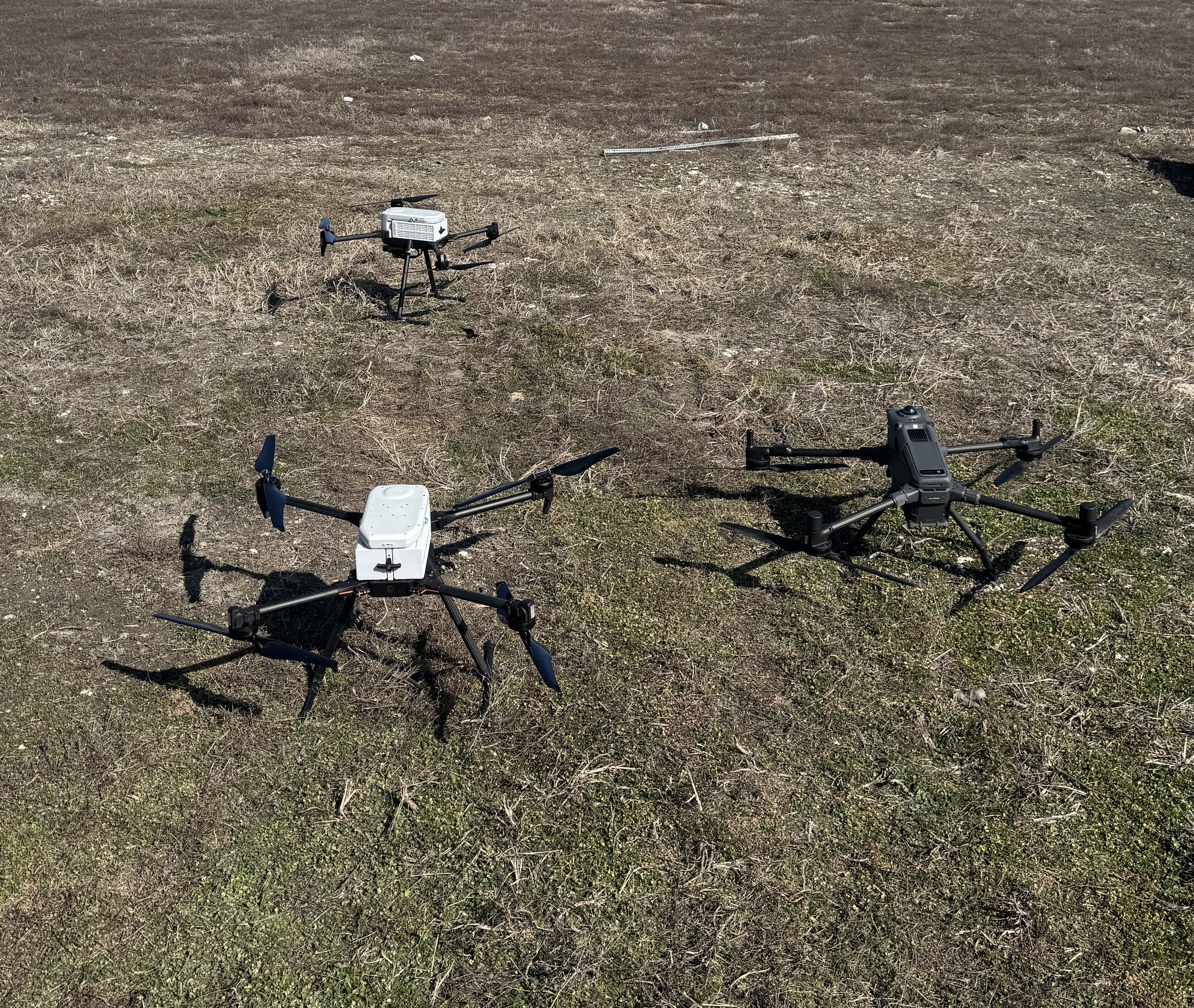
FAA-compliant unmanned aircraft flights for aerial mapping, inspections, and construction progress documentation.
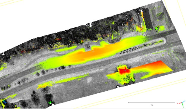
Data Deliverables
Orthomosaics, point clouds, digital terrain models, and survey-grade topographic data produced in-house.
Built Infrastructure
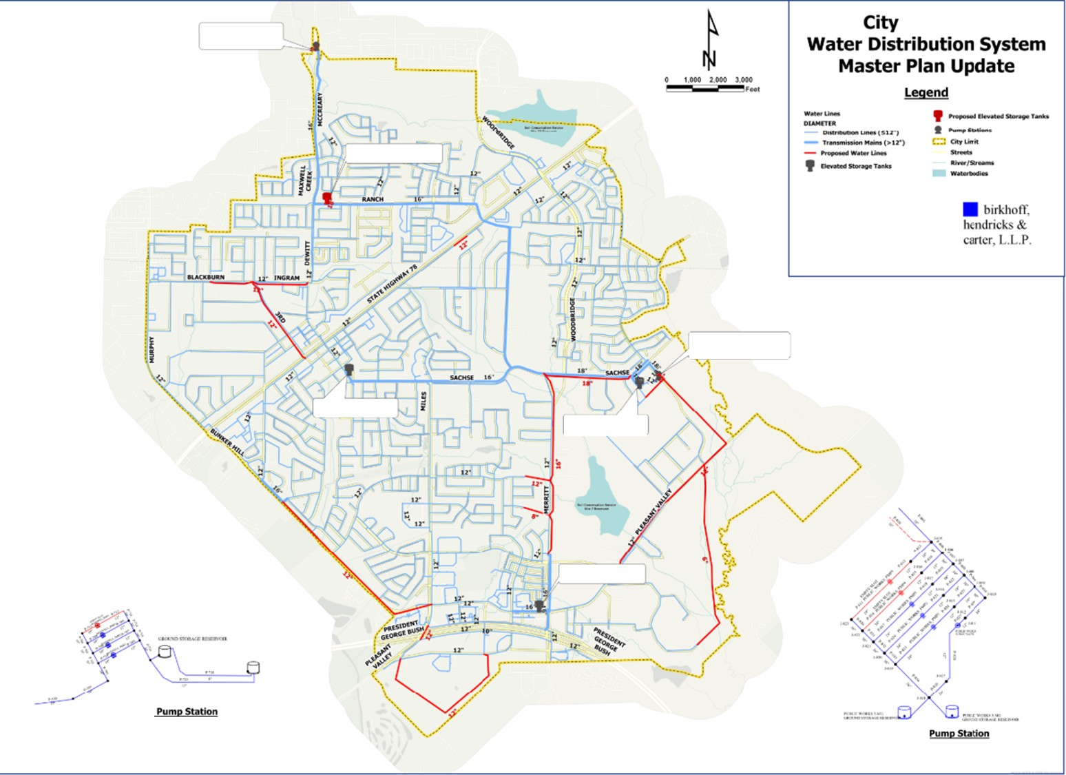
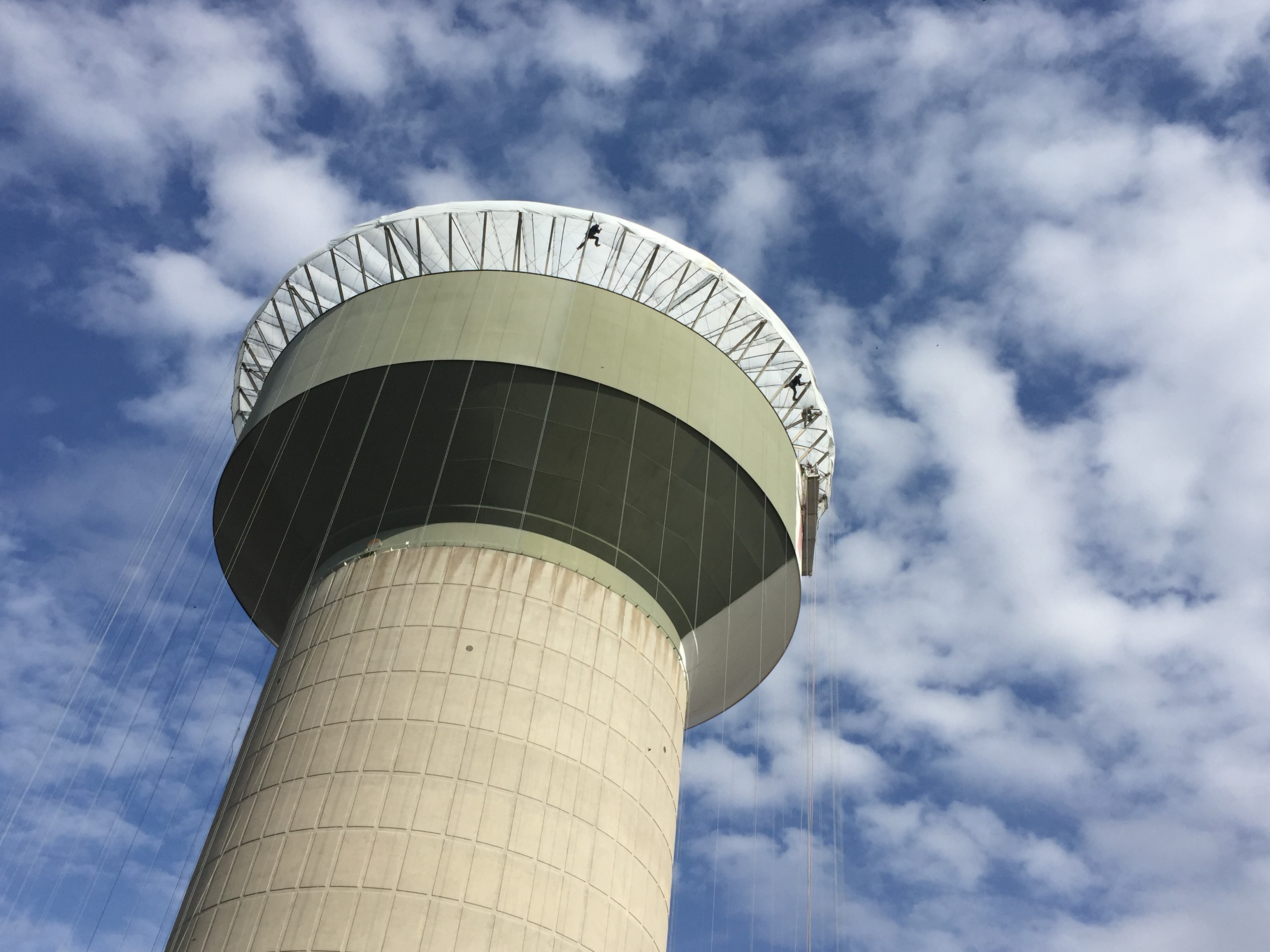
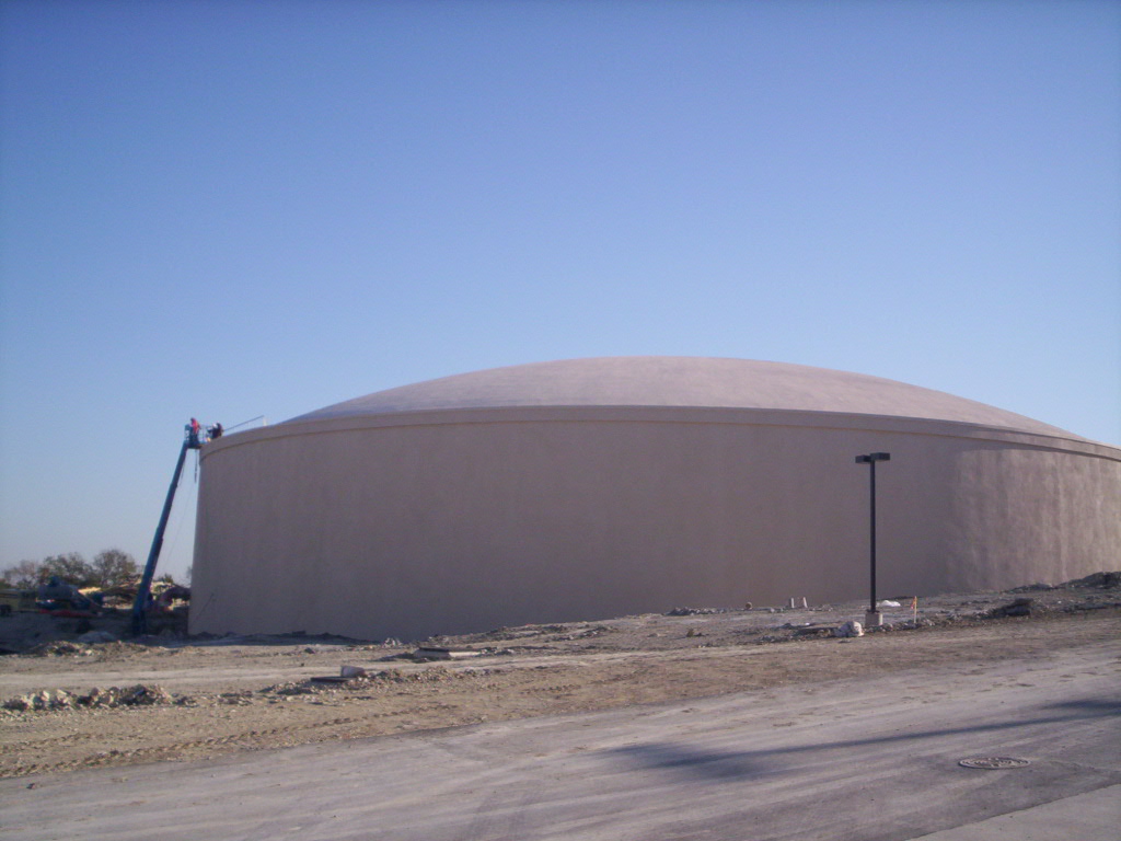
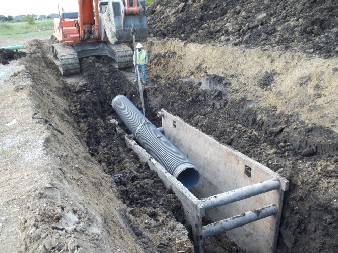
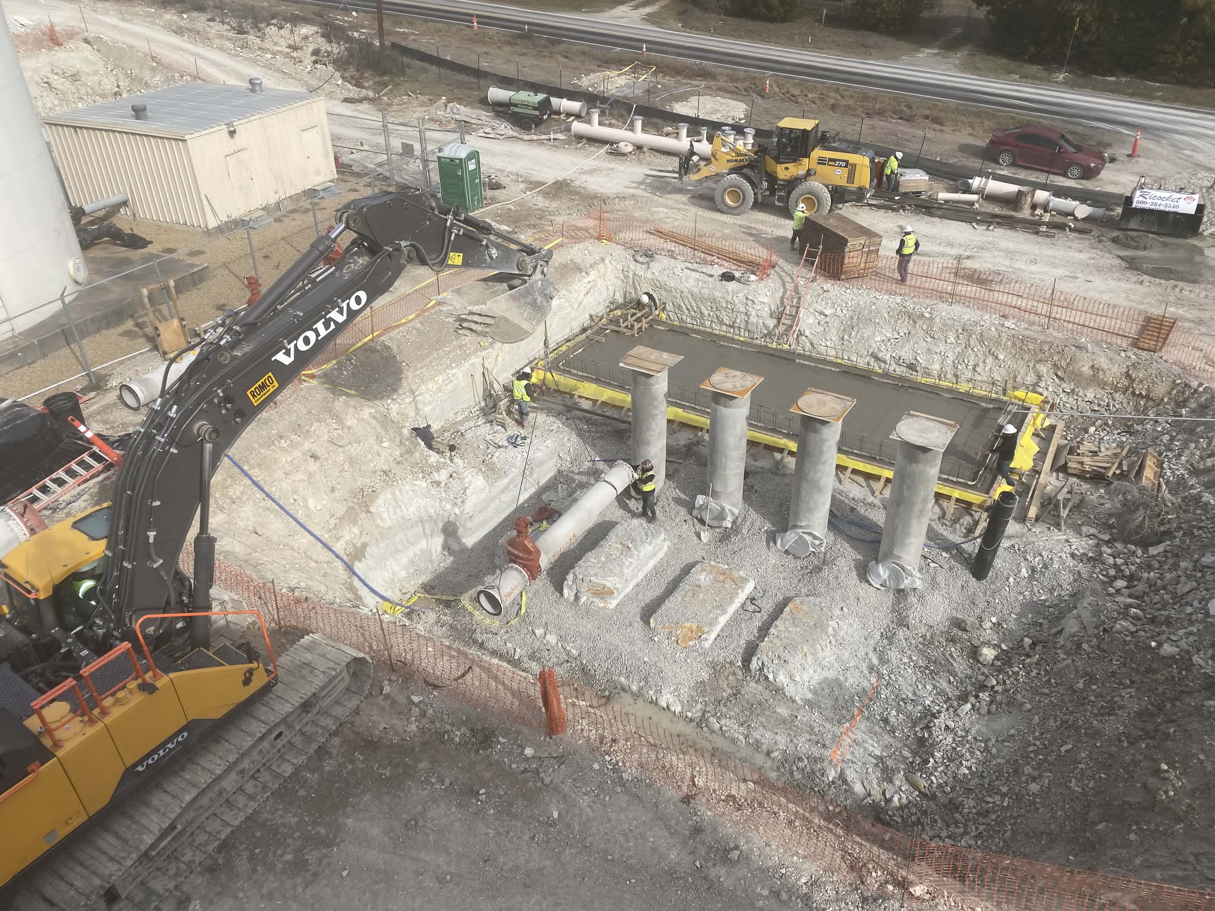
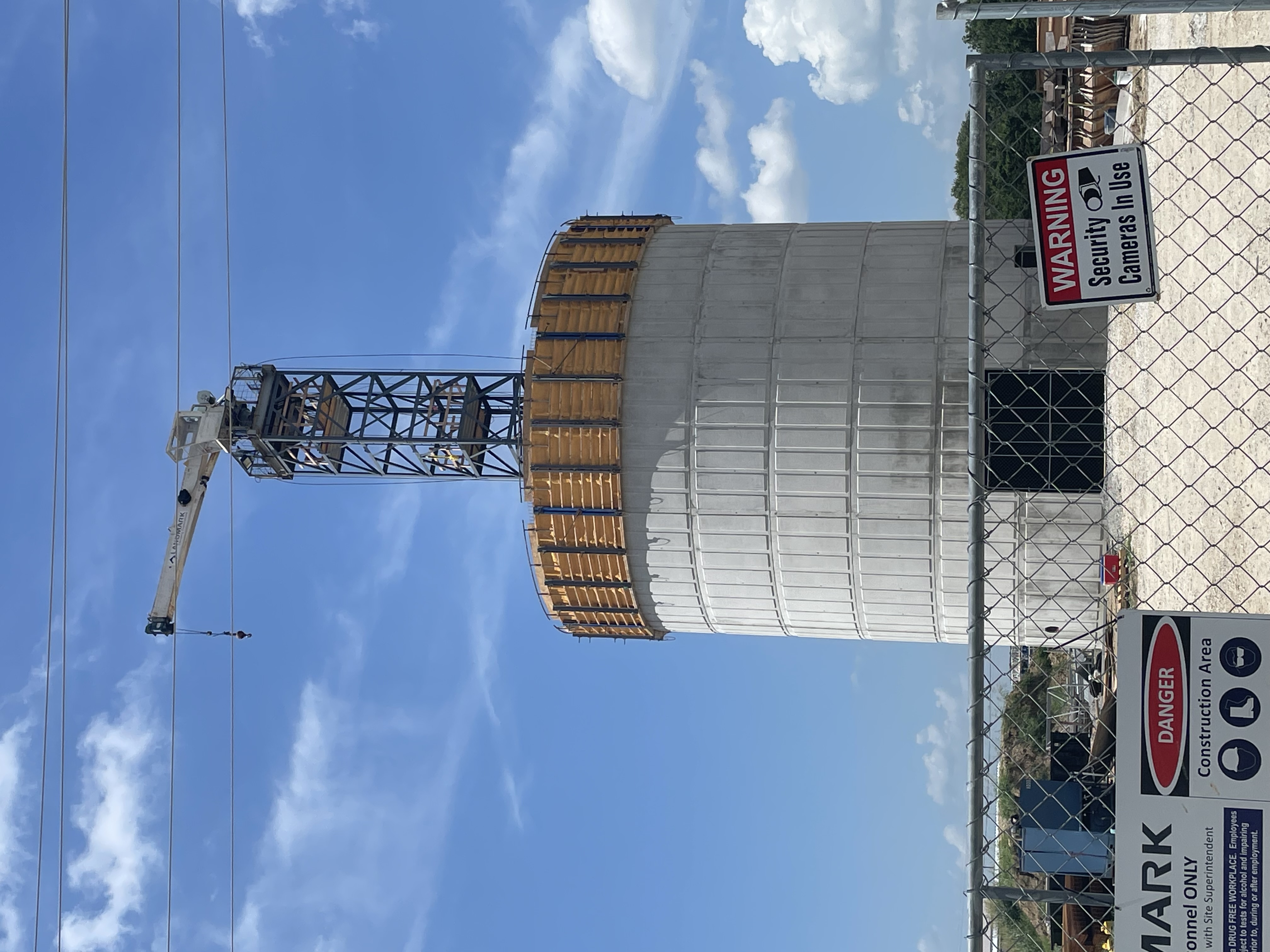
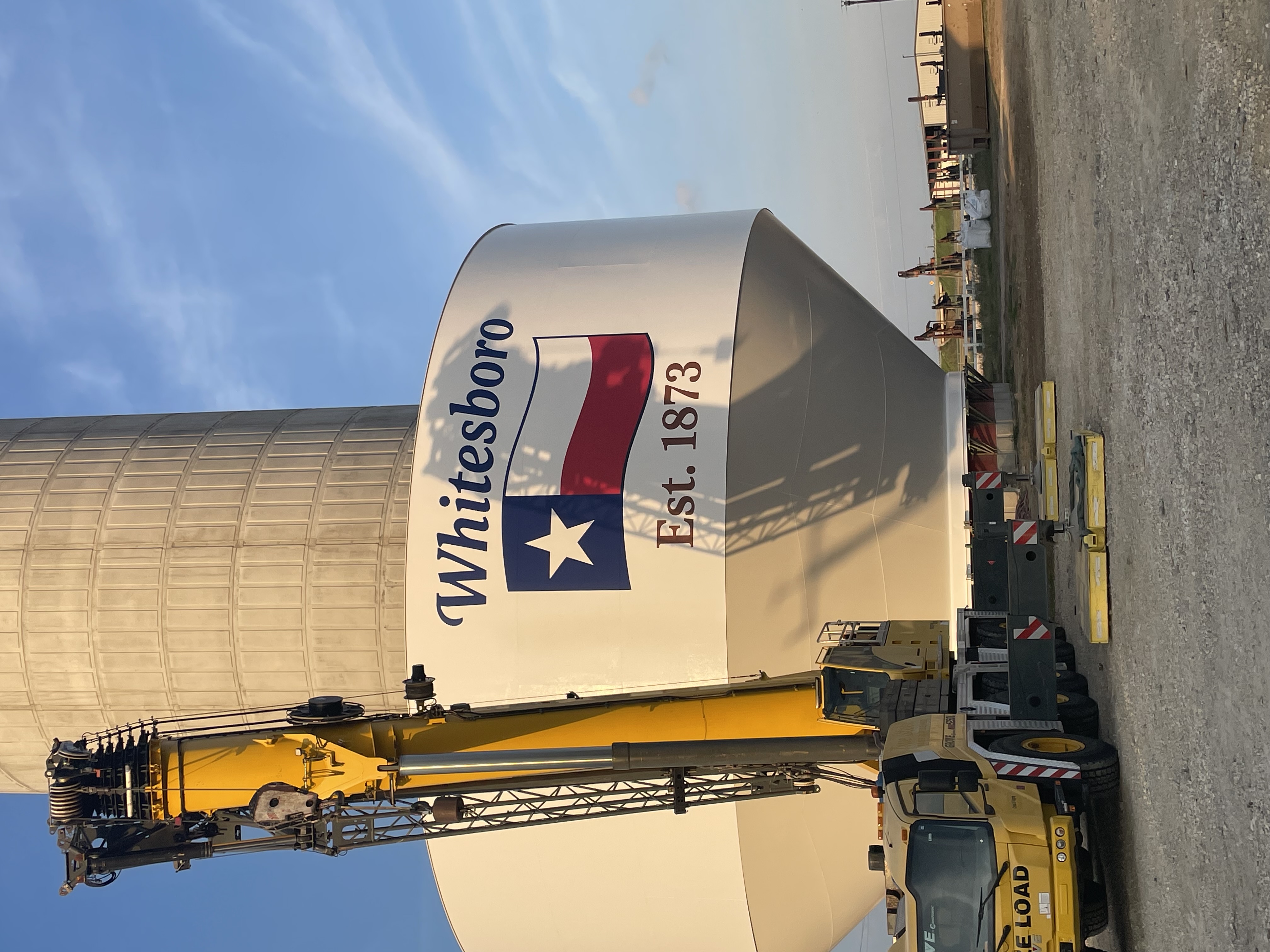
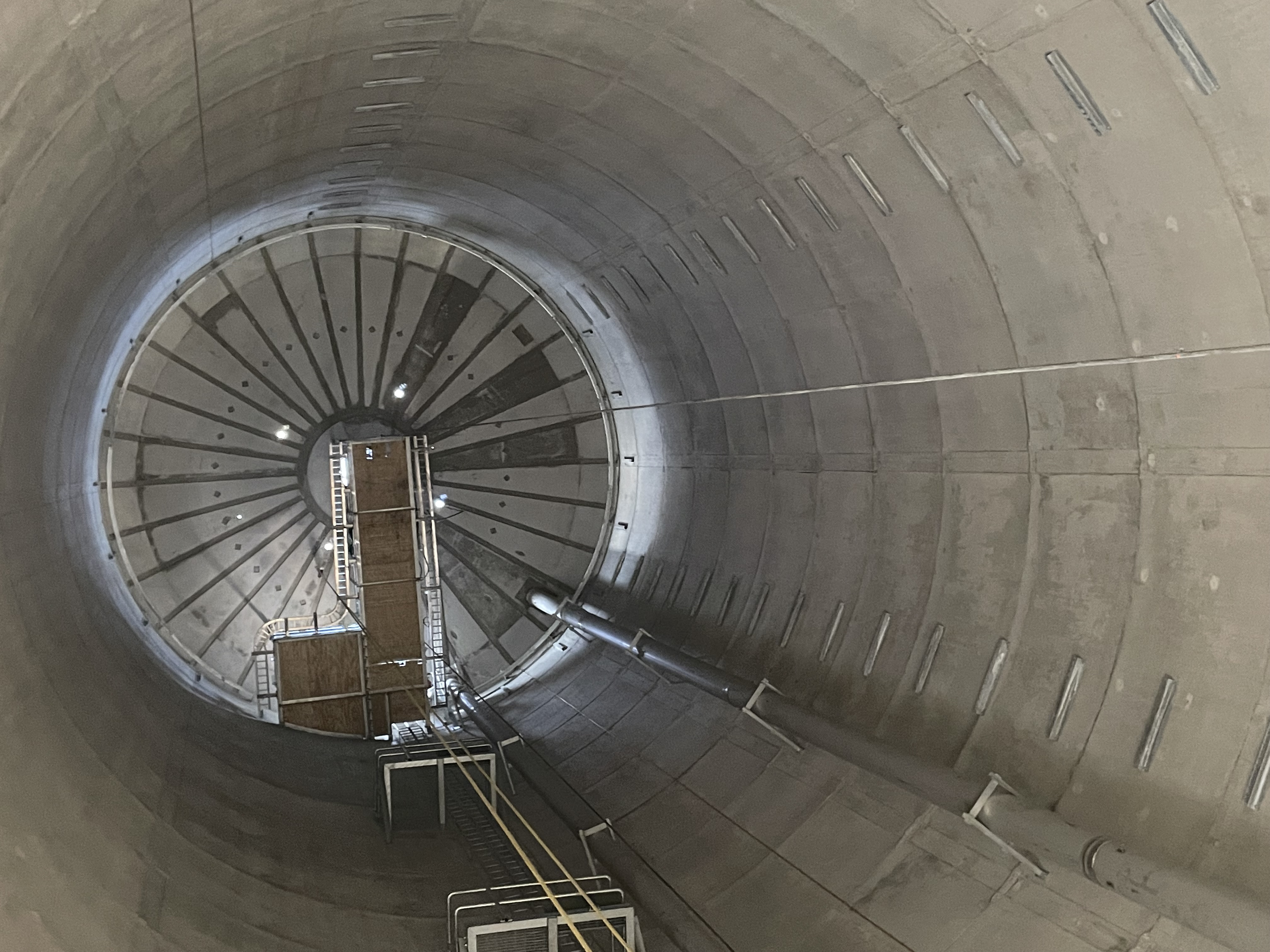
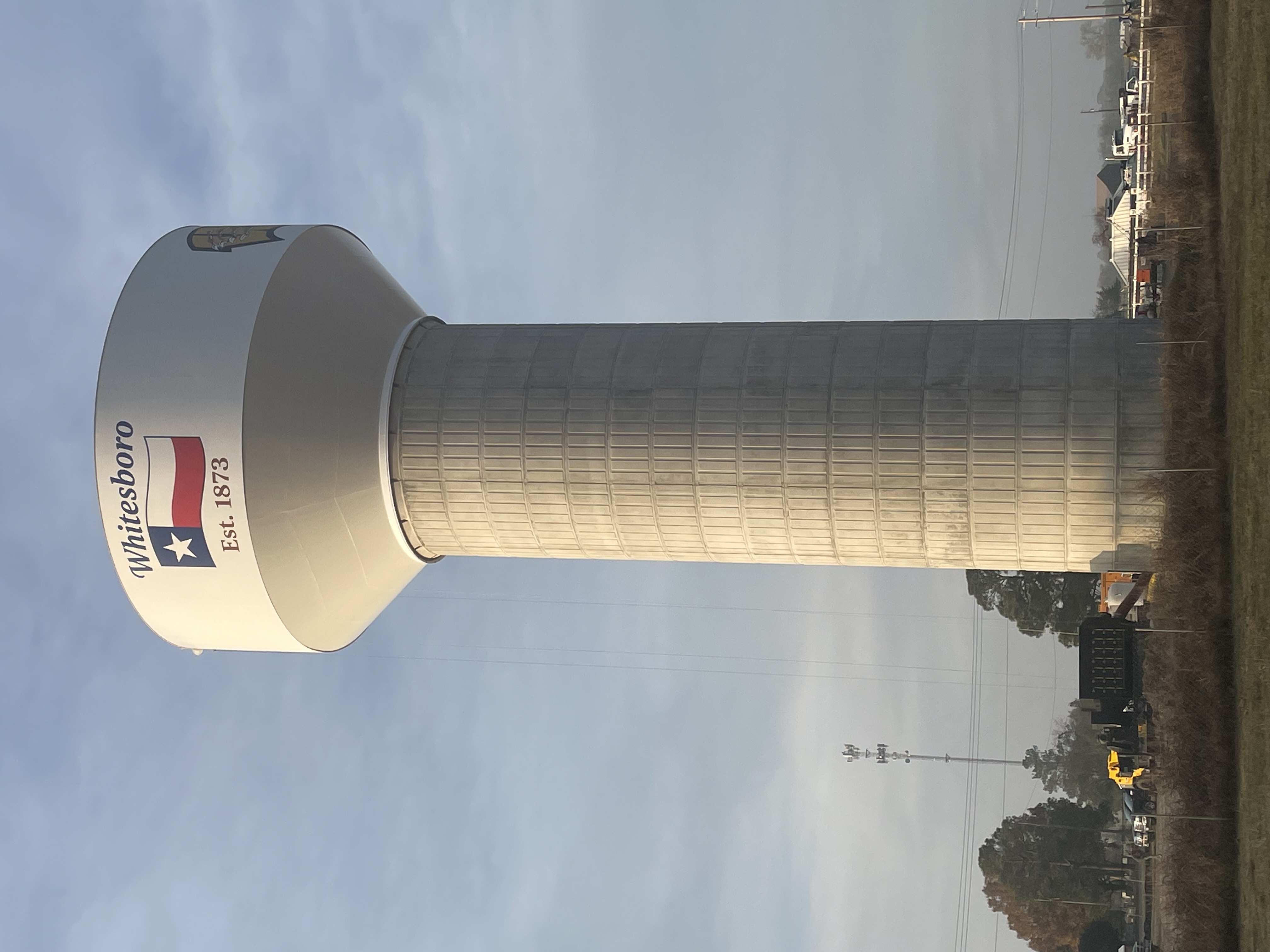
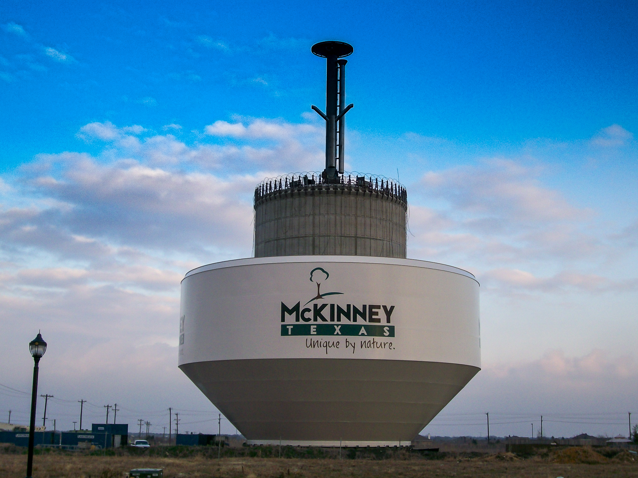
Water, wastewater, drainage, and transportation projects designed and delivered for North Texas communities.
Trusted Advisors
At BHC, our clients have direct access to the professionals leading their projects. For more than 55 years, we have provided municipal engineering services to North Texas communities through a unique partner-led approach, where experienced professional engineers remain actively engaged in every phase of a project. Our exclusive focus on municipal engineering, combined with local ownership and long-tenured staff, allows us to deliver responsive service, practical solutions, and trusted relationships that help communities grow with confidence.
Specializing in civil engineering for municipalities and governmental agencies
With our focus toward small and medium municipalities, we cater to the specific needs of each client — from full project design and construction administration to acting as City Engineer.
Engineering
Select a practice area to see the full list of services. Some include links to project case studies.
Specialized Municipal Services
- Public Meeting Coordination
- Capital Improvement Programs
- Municipal Facility Planning and Design
- Impact Fee Analysis
- Investigations and Evaluations
- Right-of-Way / Easement Acquisitions
- Subdivision Review
- Urban Planning Assistance
- Value Engineering
- Boundary Surveys / Topographic Surveys
- Standard Construction Details
- Construction Design Manuals
- Acting City Engineers
Transportation
- Thoroughfares
- Streets
- Highways
- Tollroads
- Railroads
- Bridges
- Roadway Reconstruction
- Roadway Design Manuals
- Rehabilitation
Storm Drainage
- Underground Collection Systems
- Channel Improvements
- Drainage Studies
- HEC Studies
- Detention Basins
- Storm Water Pump Stations
- Drainage Design Manuals
- Stormwater Master Plan
Water Resources
- Distribution System Computer Modeling
- Water Distribution Master Plans
- Intake Structures
- Treatment Facilities
- Pump Stations
- Elevated Storage Tanks
- Ground Storage Reservoirs
- Transmission Lines
- Distribution Lines
- SCADA Systems
- Water Impact Fees
- Water Supply Studies
- Water Infrastructure Design Manuals
- Waterline Rehabilitation
- Water Facility Rehabilitation
- Emergency Generation / Power Connection
Wastewater
- Hydraulic Computer Modeling
- Wastewater Collection Master Plans
- Collection Lines
- Trunk Mains
- Lift Stations
- Treatment Facilities
- Wastewater Studies
- Wastewater Impact Fees
- SCADA Systems
- Sewer Infrastructure Design Manuals
- Sewer Line Rehabilitation
- Wastewater Facility Rehabilitation
Remote Sensing & Geospatial Science
BHC pairs traditional civil engineering judgment with modern data collection — unmanned aircraft systems, photogrammetry, and survey-grade geospatial processing — to give municipalities faster, richer, and more defensible data.
High Resolution RGB, IR & Multi-spec Imagery
High-resolution orthomosaic imagery and 3D surface models from UAS flights, tied to ground control for survey accuracy.
Terrain & LiDAR Data
Digital terrain models and point clouds supporting drainage studies, design surfaces, and earthwork quantities.
Geospatial Data and Custom Asset Management Solutions
Geospatial deliverables your staff can actually use — clean, documented data integrated with municipal GIS systems.
Deep Learning Object Detection Services for Feature Extraction
Leverage advanced deep learning workflows to automatically extract assets from imagery and point clouds, making them ready for immediate municipal asset management.
Remote Sensing / Methane Detection
Remote-sensing data merged with conventional boundary and topographic surveys under licensed oversight.
Interactive GIS Dashboards
Explore live, interactive maps and dashboards built by our geospatial team — served directly from ArcGIS Online.
Share the dashboard publicly in ArcGIS Online, then add its URL to the DASHBOARDS list in this file — for example https://www.arcgis.com/apps/dashboards/<ITEM_ID>. The embed keeps full interactivity and Esri's own attribution.
Dashboards are hosted on ArcGIS Online and embedded here — visitors can pan, zoom, and filter without leaving the site.
Partners
Licensed professional engineers leading every project, with decades of combined municipal experience.

Craig M. Kerkhoff

Andrew Mata, Jr.

Derek B. Chaney

Justin R. Ivy

Cooper E. Reinbold

Robert Hendricks
Saul Mendoza

Chase Crawford
Build Your Career at BHC
For over 55 years, Birkhoff, Hendricks & Carter L.L.P. has engineered the critical infrastructure that North Texas relies on. We offer a collaborative, supportive workplace where professional growth meets deep civic impact.
Life at BHC
We believe the best engineering solutions come from a balanced, supportive environment. At BHC, you are not just a number on a spreadsheet—you are an integral member of a dedicated team helping North Texas communities thrive.
Collaborative Environment
Our open-door environment ensures junior engineers work side-by-side with experienced partners. You will get hands-on design exposure and mentorship through every project lifecycle step.
Municipal Impact
Work on meaningful, localized public projects—from critical water distribution networks to sustainable roadway designs. Our engineering directly enhances the safety and quality of life for 64 North Texas communities.
Stability & Balance
With over five decades of service, we pride ourselves on steady municipal relationships and workload management. We support realistic schedules that safeguard your professional and personal balance.
Ready to Take the Next Step?
We are always looking for passionate engineers, designers, and geospatial professionals to join our North Texas team. Let us know your interests and background.
Apply Now / Submit InquiryAbout the Firm
Birkhoff, Hendricks & Carter was founded in Dallas, Texas in 1969 to provide consulting engineering services primarily to municipalities and other governmental agencies. Our mission is to provide quality consulting engineering services for small and medium size municipalities and other governmental agencies in the North Texas area.
With our focus toward medium and small municipalities, we cater to the specific needs of the client — full engineering design, plans and specifications, studies, construction administration, right-of-way and easement documents, condemnation hearings, value engineering, reports and alternatives, capital improvement programs, hydraulic modeling for water, sanitary sewer and storm water, plus surveying and drafting services for city-designed projects.
- 1969Shimek, Roming, Jacobs & Finklea
- 1976Shimek, Jacobs & Finklea
- 1996Shimek, Jacobs & Finklea, L.L.P.
- 2001Birkhoff, Hendricks & Conway, L.L.P.
- 2010Birkhoff, Hendricks & Carter, L.L.P.
Contact Us
Call or email us — we'll route your inquiry to the right partner.
Dallas, Texas 75243